 Snorkel Coiba
Maybe you've heard that "they found a tunnel between Coiba and the Galápagos." The reality is even more fascinating — and true. There's no tunnel, but there is a chain of underwater mountains connecting the Coiba region with Cocos Island and the Galápagos, and along it travels one of the greatest shark and turtle migrations on the planet. Scientists call it the "Cocos-Galápagos Swimway" — the swimming highway. Here's what's been discovered.
Let's clear up the myth: it's not a tunnel
Sometimes people say, word of mouth, that "there's a tunnel under the sea between Coiba and the Galápagos." It's a nice image, but not literal — there's no hollow passage. What does exist, and is real, is a ridge of underwater mountains: peaks rising thousands of meters from the ocean floor, some coming to within just a few hundred meters of the surface. That chain forms a natural path connecting the great marine reserves of the Eastern Tropical Pacific. Science gave it a far more evocative name than "tunnel": the swimway.
What the "Cocos-Galápagos Swimway" is
The Cocos-Galápagos Swimway is a corridor of about 700 kilometers following the Cocos Ridge — the same chain of seamounts born from the Galápagos hotspot. It connects Cocos Island National Park (Costa Rica) with the Galápagos Marine Reserve (Ecuador), passing near Malpelo and the ridge system Coiba belongs to. It's not a straight line or a tube: it's a series of seamounts that act as rest and orientation stops for migrating animals.

How sharks and turtles use it
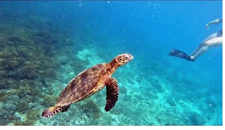
The ocean's great animals don't wander at random. Satellite-tracking studies — led by science networks like MigraMar — have shown that hammerhead sharks, whale sharks, green turtles and leatherback turtles travel between Cocos and Galápagos following this chain of seamounts. The peaks are thought to serve as reference points (they may sense magnetic and topographic changes) and as food-rich areas to regroup. It's literally a highway with "service areas" for migratory wildlife.
Although this corridor is officially defined between Cocos and Galápagos, Coiba belongs to the same ridge system and the same regional protection initiative — which is why the same migratory species that cross the corridor also appear in Coiba's waters.
The recent discoveries (2024–2025)
The region keeps revealing secrets. In January 2025, a science team explored a seamount called Paramount, rising from over 1,500 meters deep to just 180 meters below the surface, to study how it connects with the Galápagos. And throughout 2024, oceanographic expeditions on the neighboring ridges mapped new seamounts and documented hundreds of species never recorded before. Every expedition confirms the same thing: these hidden mountains are far more important — and far more alive — than we imagined.
What this has to do with your visit to Coiba
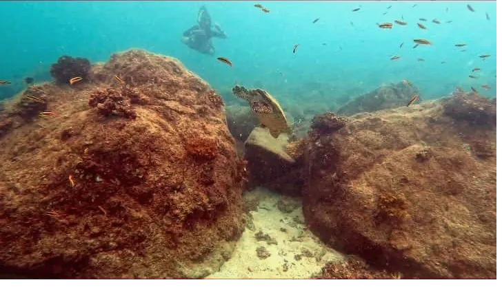
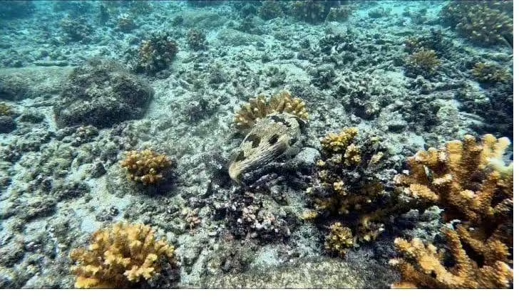
Everything. When you snorkel in Coiba, you're not in an isolated aquarium — you're in one of the five hearts of this great connected system (Coiba, Cocos, Malpelo, Gorgona and Galápagos). The reef sharks, turtles and rays you see are part of the same web of life that runs the corridor. That's why Coiba feels so wild and so full of big animals: it's plugged into the most important underwater highway in the Eastern Pacific. Learn more in our Coiba Island guide and about the volcanic origin it shares with the Galápagos.